Our first 3D soil model dates back to 2012 and was created for the implementation planning of the U1 line. This first endeavour focused on a worksite characterised by the complicated undercrossing of an existing motorway tunnel and additional infrastructure.
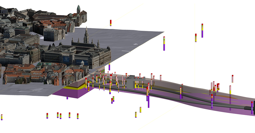
The tangible benefits, particularly in terms of construction supervision, prompted Wiener Linien to also use this approach for the following, extensive development of the metro system. In 2015, a comprehensive model was generated that maps over 8 kilometres and captures the planned extent of the "Linienkreuz U2/U5" infrastructure. This model served as a guide for the design for the permit application, site investigation and tender.
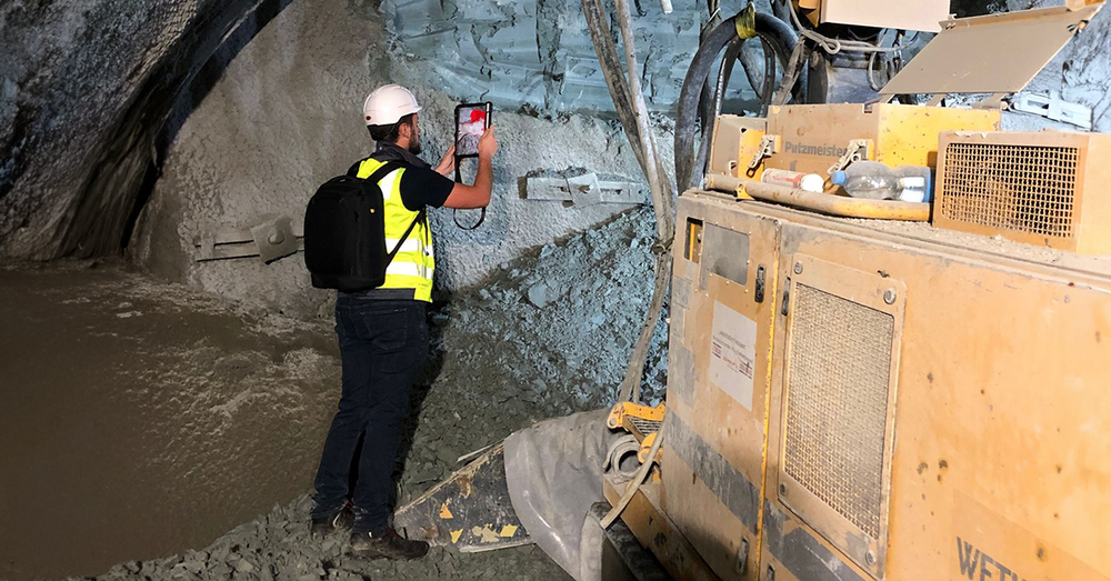
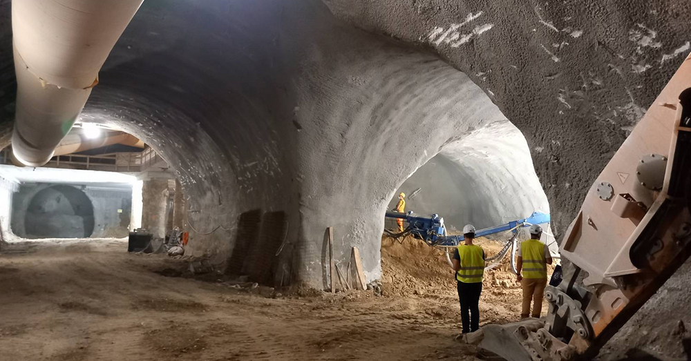
We have driven the development of the model from the very beginning and are ensuring its continuous improvement. Work on the shafts began in 2018, with tunnelling ongoing since 2020. We are currently focusing on improving the model with the latest findings from project implementation. This includes the integration of data such as soil profiles from new wells for groundwater management, ground improvement and geological tunnel documentation. The model serves as an essential foundation for the design and interpretation of compensatory injections, monitoring and groundwater management.