Rockslide Vals, Tyrol
Client:
Torrent and Avalanche Control Authority
Country:
Austria
Duration:
March to August 2018
Services:
Airborne DTM modelling, 3D volumetric model, geological and geotechnical analysis of discontinuities, modelling of failure scenarios
PDF-Download
Project objectives
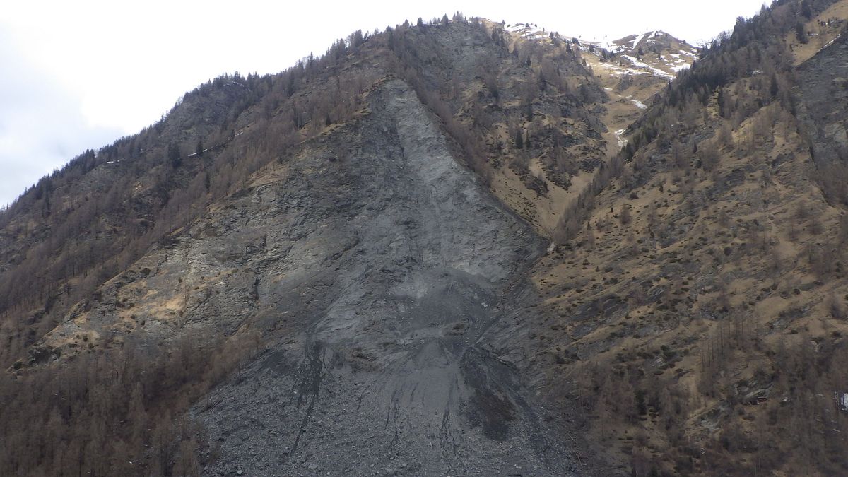
On Christmas Eve 2017, a huge rockslide with an estimated volume of 117,000 m³ occurred in the valley of Vals in Tyrol/Austria, burying the L 230 provincial road and stopping just in front of several occupied buildings.
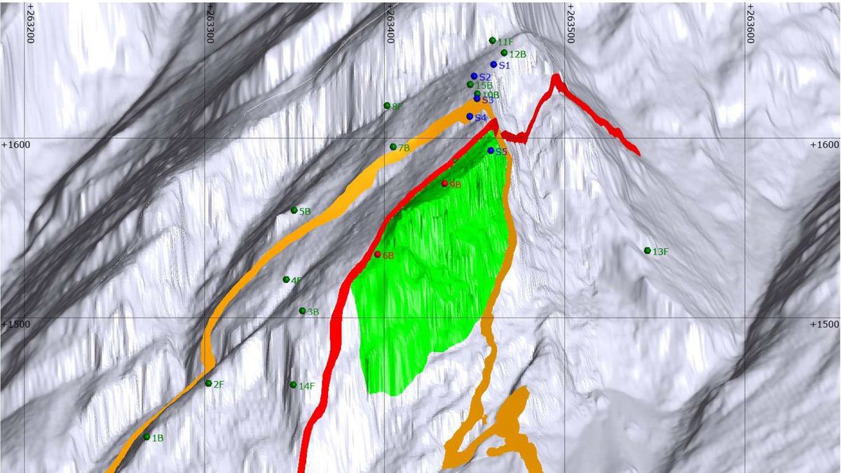
iC was assigned to generate a digital terrain model (DTM) based on UAV airborne surveying data and to build a 3D model including main discontinuities as a basis to define possible future failure scenarios.
Project description
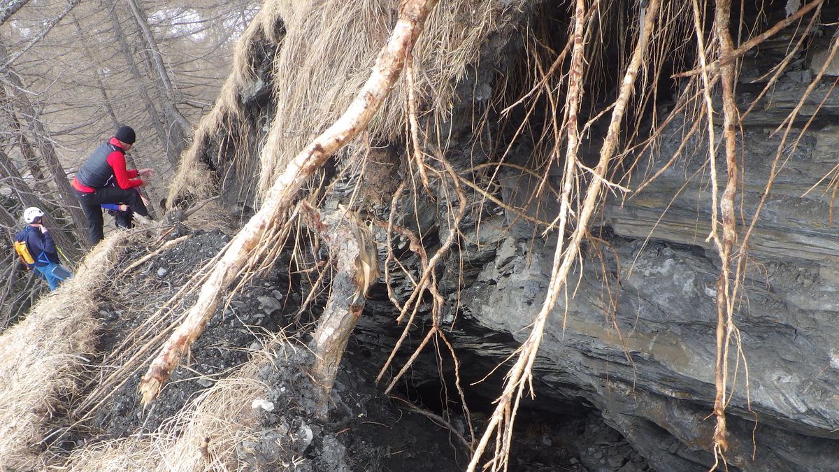
In order to design proper protection measures and to establish a warning and monitoring system, a DTM from airborne photogrammetric data was generated, which served as the basis for a volumetric 3D model. In a next step, a geological structural analysis was carried out to understand the failure mode of the slope and to estimate the volume of the remaining, potentially instable rock mass.
Project data
Estimated volume of rockslide: 117,000 m³
Area of interest: ca. 0.25 km²
Height of slope: approx. 400 m
Project specifics
The village of Vals is located in a high alpine valley at an altitude of more than 1,000 m a.s.l., approximately 40 km south of Innsbruck.
Services
Photogrammetric aerial photo via UAV
Digital terrain model from aerial data
3D modelling of sliding area
Structural geological analysis and modelling
Definition and quantification of future failure szenarios
3D print of the model including future failure scenarios


