Yusufeli Dam, Turkey
Client
LIMAK, Ankara
Country
Turkey
Duration
since 2013
Services
Geological investigation, geotechnical consultancy, rock mechanics study, geotechnical cut slope design, excavation and support design for caverns
PDF-DownloadProject objectives
Establishment of a computer based 3-D ground model for all design issues as well as rock mechanical consultancy and geotechnical design for cut slopes of cable crane platform and dam body excavation as well as underground caverns.
Project description
Engineering geological and geotechnical consultancy for the construction of the Yusufeli dam. Concrete arch dam with a height of 275 m located in the Coruh valley in the north-east of Turkey.
Project data
Construction period 2012 until 2019; arch dam with a concrete volume of 2,950,000 m³; dam height 275 m; reservoir size 33.63 km²; energy production 540 MW, 1,827 GWh/year. The Yusufeli dam will be the third highest arch dam in the world.
Project specifics
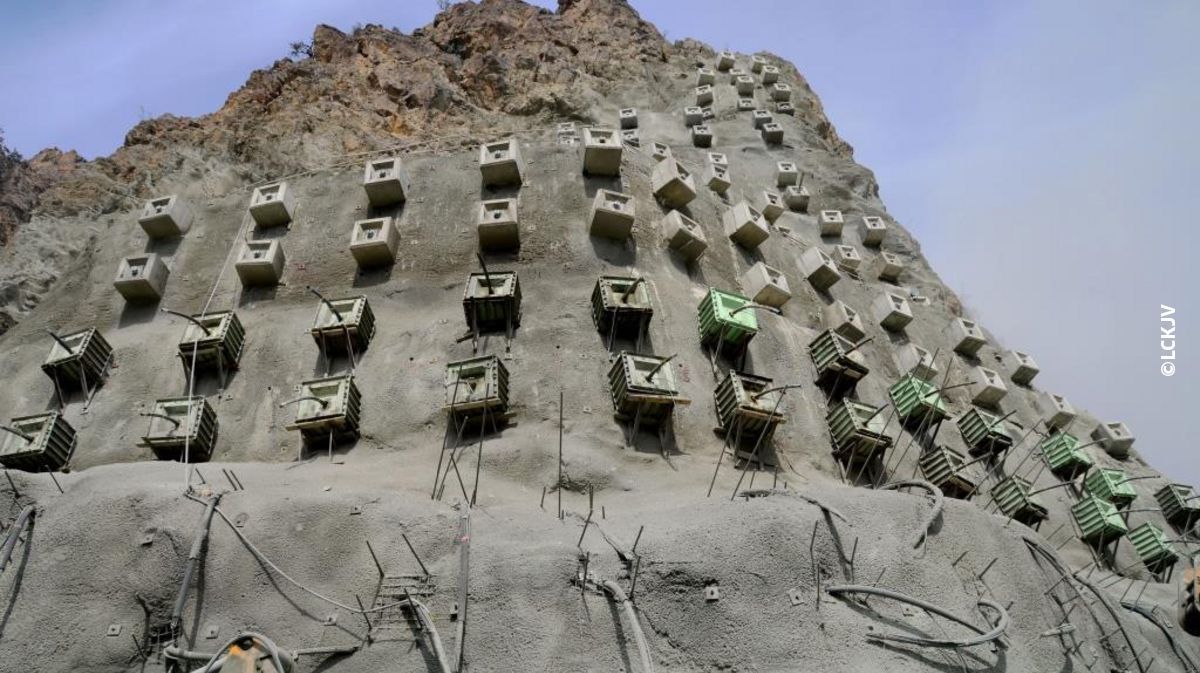
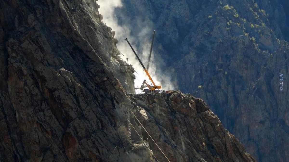
The project site is located in a deep gorge of the Coruh river and contains cut slopes with a vertical extension of almost 500 m. Once completed, The Yusufeli arch dam will be the highst dam in Turkey. iC assists Su-Yapi Mühendislik's (Ankara) large design team, which is also supported by ARQ consulting engineers of South Africa.
Services
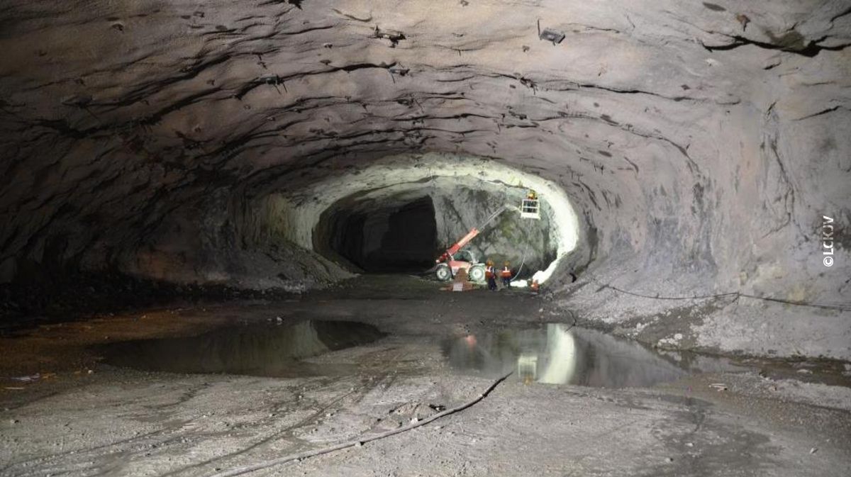
Engineering geological and geotechnical consultancy concerning site investigation and modelling; excavation design for temporary and permanent cut slopes for the Yusufeli dam. Geological assessments of relevant landslides in the future reservoir area. Excavation and support design of powerhouse cavern, transformer cavern and manoeuvre hall.
Publication
The annual ICOLD symposium was held in Ottawa, Canada from 9-14 June 2019. The theme of the symposium was "Sustainable and Safe Dams Around the World". iC was present with a booth and a presentation. In the course of the symposium a publication with the same title was published. iC is represented with a contribution around the topic " Innovative 3D ground models for complex hydropower projects":
"Digital 3D geotechnical models have become indispensable for the design of today‘s large hydropower projects. The amount of data, complex design requirements, and the necessary flexibility throughout the design and construction periods demand innovative tools and workflows. This paper presents approaches that were developed and successfully applied for: (1) compiling, analyzing and visualising large amounts of factual data, (2) describing heterogeneous and complex rock mass properties in models suitable for large-scale 3D design software, (3) verifying and updating models during on-going investigation and excavation works, and visualizing, planning and guiding (4) grouting operations and monitoring programs."
By Jonas Weil, Irmina Pöschl and Johannes Kleberger
Read the whole article here.
ARQ, the consultant for dam design, explains how the foundation model for the world’s 7th highest concrete arch dam was built based on iC’s geotechnical model and used throughout the project. (link to recording)
